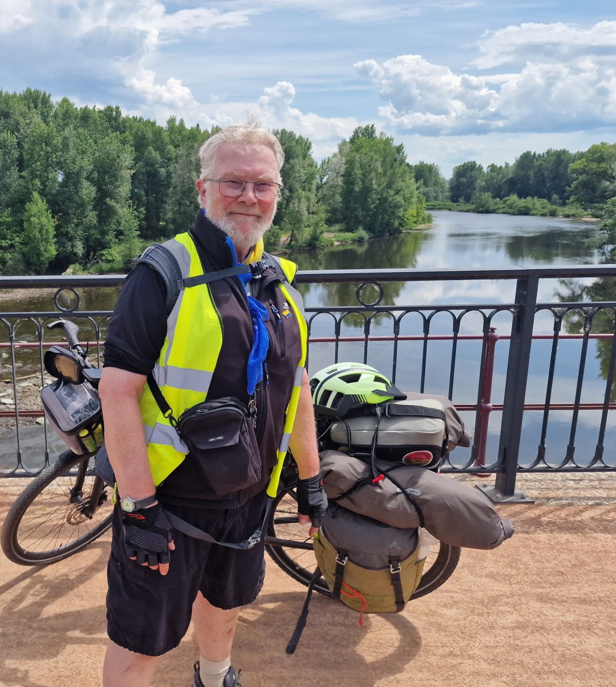
Supporter of the ‘underdog’ and fair play, freedom of the individual balanced with responsibility to the community. Supporter of our heritage and countryside. Environmental campaigner for action on climate change, sustainable farming, transport and economy
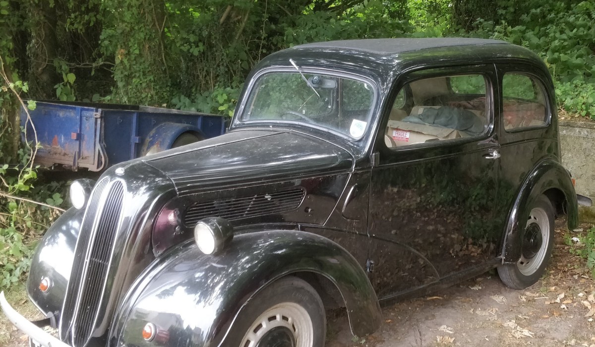
How I gained and lost a girlfriend in a matter of weeks thanks to my old car!
There was this absolutely gorgeous, stunning-looking blonde girl who was being trained at the Telecoms training Centre at Bletchley Park whilst I was there. There were a lot of girls doing their training in this place, as well as us lads. With all these young girls virtually on the same site, you couldn’t possibly keep them apart. So anyway, one way or another, we blokes got to know some of the girls, and I got to know this girl, this beautiful blonde girl from Glasgow. But she didn’t speak with a Glaswegian accent. She was posh. We were getting on really well, and we were going to meet up after the courses were over, and I was going to invite her down to see me, and I was going to go up to Scotland.
When it came time to leave on Friday, I said, “I’ll take you wherever you have to go. I’ll take you to the station so you can pick up your train to go to Scotland.” This is what happened!…………….. Check out this extract from my podcast about the Bletchley Park Telecom Training School and see how she dumped me at a bus stop!
Enjoy!
If you want hear the whole podcast and hear of the antics we got up to just CLICK HERE
In 1985, Wham! became the first major Western pop act to perform in communist China. Watching the story brought back memories of my own visit to Beijing in 1999, and of a country changing rapidly as it opened to the wider world.
Recently, I came across a fascinating BBC Two programme about Wham! — the hugely successful pop duo of George Michael and Andrew Ridgeley. Their string of memorable hits included **Wake Me Up Before You Go-Go**, **Freedom** and, of course, **Last Christmas**, all released in 1984. Wham! may have broken up in 1986, but one remarkable episode in their short career still stands out: their groundbreaking visit to China in 1985.
That year, Wham! became the first major Western pop act to perform in communist China. George Michael and Andrew Ridgeley travelled to Beijing and Guangzhou for concerts that were about far more than music. China was only beginning to open itself to the wider world, and for many of those in the audience it was their first experience of seeing Western pop music performed live.
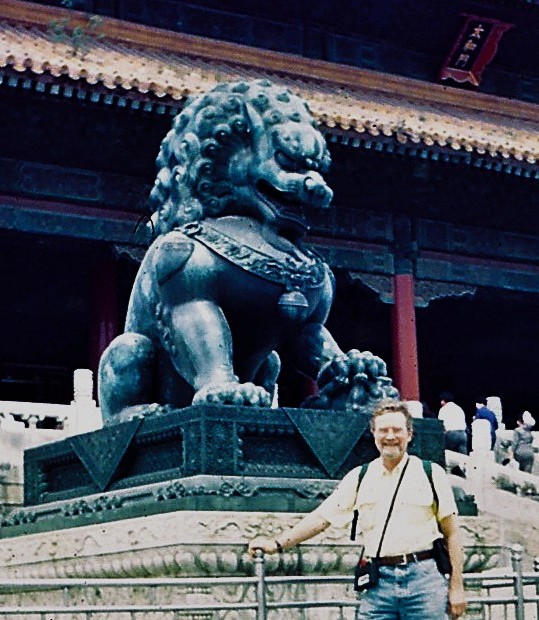
Watching the programme was particularly fascinating for me because I visited Beijing myself in 1999, fourteen years after Wham!’s historic tour.
CLICK HERE for a link to the BBC recording of the tour. You can also watch it on Amazon Prime.
Happy Days – Boyhood adventures! This little story describes some of the adventures with my childhood best friend Graham in the 1950s. Those were wonderful days, carefree, happy, fascinating, and full of discovery. We were true adventurers!
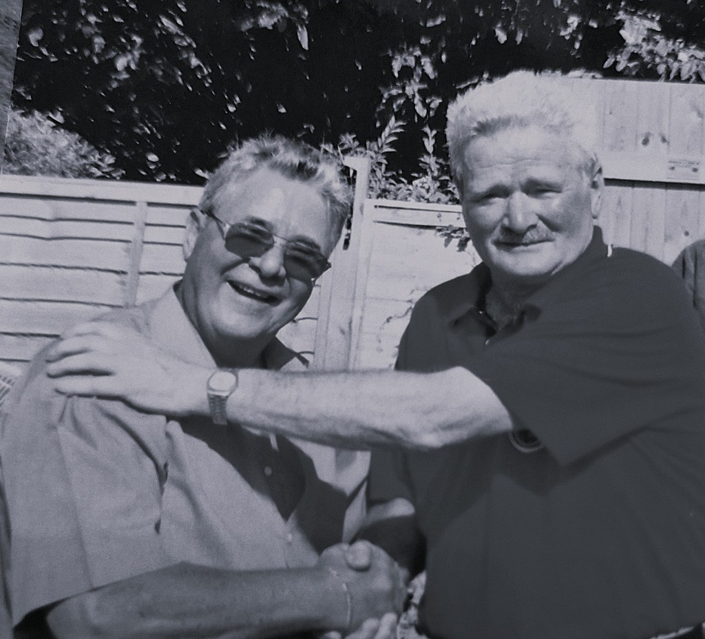
I was born in 1946 and I grew up as a boy in the 1950s and as a teenager from the late 50s to the early 60s. Last year my very best friend from those boyhood days passed away. Although we’d lost contact with each other for some of our adult life, we found each other again on Friends Reunited around about the year 2000 and we kept in touch and met each other frequently since then. I have very many happy memories of our time together and this story is both a tribute to him and what I hope is an interesting and amusing record of our boyhood adventures. Enjoy!
We lived close to the western Surrey Hills south of Aldershot and Farnham. This area became our playground. Much of the story which follows is set amongst these beautiful Hills.
My very best friend throughout my childhood, right from early days, was Graham Brooks.
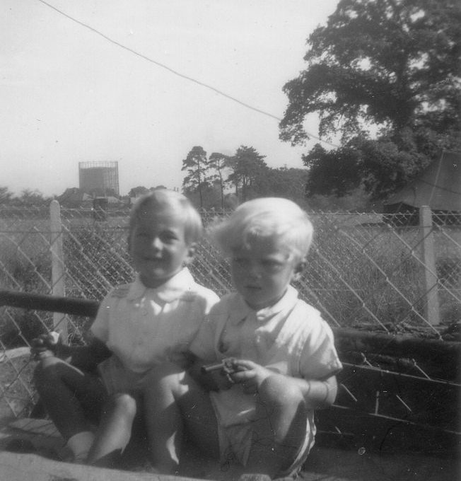
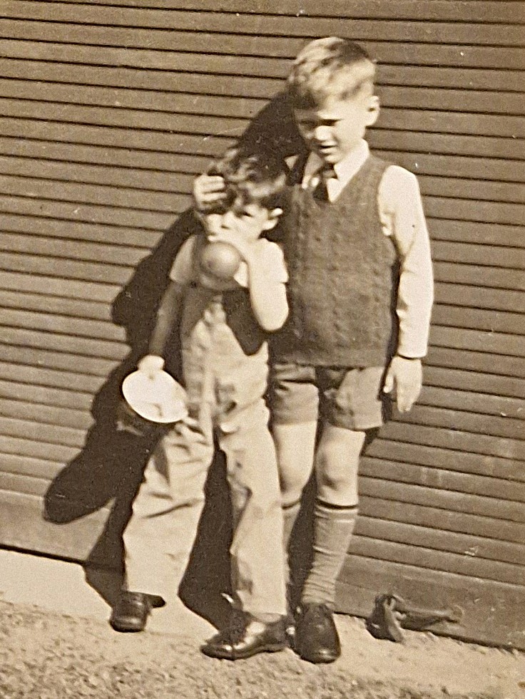
Photo of Graham and me when we were small. The edge of the copse is in the background to the right marked by the oak tree. Aldershot Gasometer in the background]
We had great fun together. Once we were old enough, we started to venture out, and this little story describes some of our adventures. Those were wonderful days, carefree, happy, fascinating, and full of discovery. We were true adventurers!
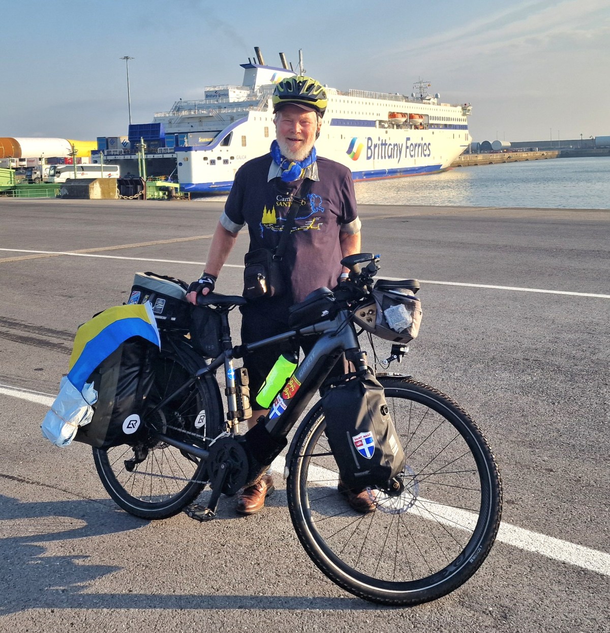
With this trip in 2026 ride I have now completed 14 long-distance cycle rides in Europe starting in 2014. I have planned and led all of these. Two of these have included Spain, but the rest have been in France. The new feature if this trip in 2026 is a cycling from Spain through France back to England. Also, this ride brings my total SOLO rides to 3.
In 2025, I completed two long-distance bike rides, one from the south of France to Dieppe, and the other from Roscoff to Dieppe. The former was promoted to help raise money for Ukrainian medical supplies. This year, I’ve I have also used the trip to raise money for charity. I’ve completed a long-distance bike ride and also raised over £3,000 for medical aid for Ukraine.
Joy and Greg with me in the centre
If someone were to ask me what the best part of this journey has been, my answer would be immediate: meeting interesting people. Throughout the trip, I have encountered some truly wonderful characters, many of whom appear in my daily diary. Even during the final hours of the journey, in Saint-Malo, I continued to meet people whose kindness, energy and friendship will remain among my strongest memories of what has been a remarkable adventure—even if it was gruelling at times.
The 2026 ride
This journey was much more difficult than I ever imagined. I think it’s mostly due to the heat. I had some other issues on the way, which could happen at any time, for instance, I was ill for a few days. My daily diary can be seen HERE . If you would like to DONATE please click HERE. My summary of my 2026 trip is here:
The Basque Country hills!
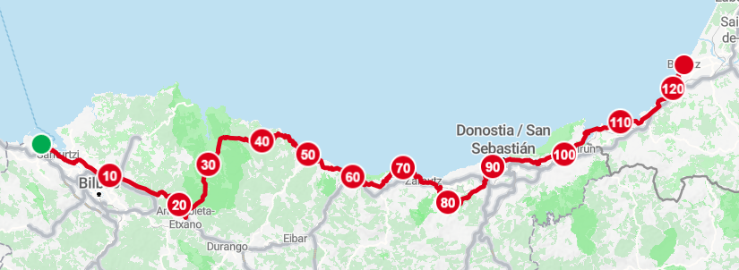
I was very concerned about cycling through the Basque Country. I knew it was hilly, but online and in actual real maps, paper maps, you couldn’t find out very much about the route. There was nothing like the Ordnance Survey or the French IGN map system, so that left me with concerns. My concerns were partly alleviated by the fact that it was a Saturday when I was cycling away from Bilbao, and that meant the traffic was light, and there were lots of cycling groups out on the road. That gave me confidence. I had to use a main road coming out, but then eventually I turned off towards Guernica, which was my first stop. That part of the route was quite hilly, and it just forewarned me about the few days that were to follow.
Guernica
Because I was raising money for medical aid for Ukraine, I felt I had to come to Guernica. This was the place where aerial bombardment of civilians first took place in 1937 as part of the Civil War, with General Franco getting assistance from Nazi bombers to obliterate the town. No thought was given to civilians. Today, President Putin is doing exactly the same thing, targeting civilians. It makes me both immensely sad and angry.
Me next to a tiled replica of Pablo Picasso’s Guernica is a massive, 1937 oil painting measuring 3.49 meters tall and 7.76 meters wide, it portrays the chaotic suffering and horrific civilian impact of the aerial bombing
Heat and Hills
After Guernica, the steepness of the hills became a lot more serious. I was heading for the coast and imagined that I could go much further, but this is where the heat and the steepness of the hills kicked in. Over 35 C in the shade and over 2000 m of ascent in 3 days (over 6,500 ft).
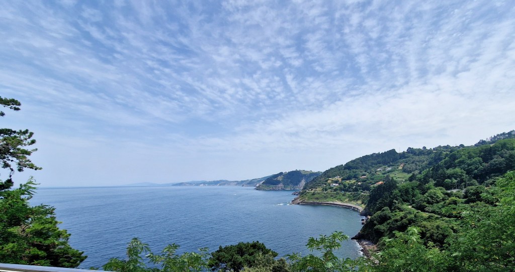
However the coastline was stunning. I would have liked to have spent more time in Jean de Luz and San Sebastian, but with hundreds of miles yet to cover, I just had a brief one-day visit in both of these places.
However, I can say the holiday mode was in full swing with lots of people on the beaches and a very vibrant atmosphere in the town in this.
France!
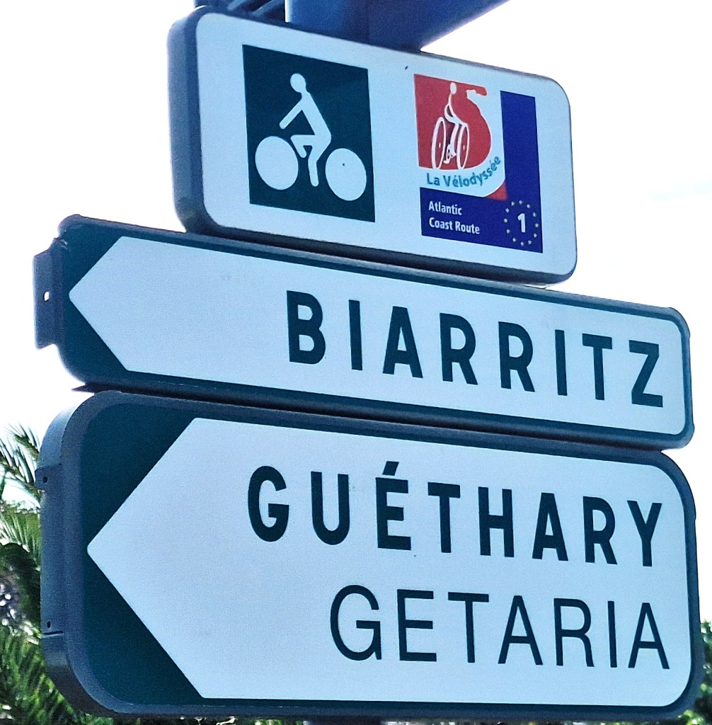
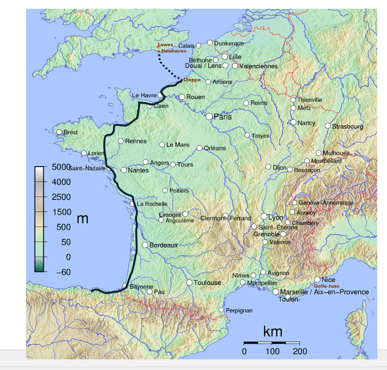
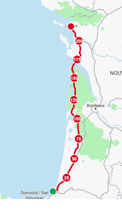
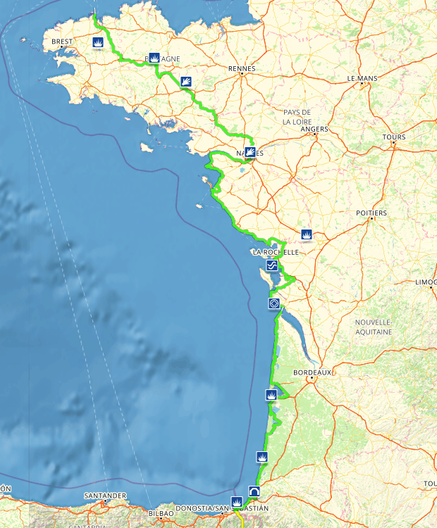
By the time I got to the French border I eventually found my way onto La Vélodyssée (Euro Velo 1). [This route is some 1,300 km (800 miles) long through France. I didn’t do all of it as my destination was St Malo.]. The route actually goes on to Roscoff in western Brittany.
The EuroVelo Route 1 (EV1) begins to be marked here. Not always that clearly and I got lost a few times. Cycling into some of the towns along the coast from San Sebastian, and into Biarritz, and then beyond Biarritz, is on clearly marked cycle paths. They are super! I wish we had this sort of cycle path system more widely in England. Sometime though one is cycling on roads but thought the journey I found that the motorists were very kind. I didn’t cut you up or hooted once thought the journey in Spain of France! Even the lorries gave me a wide berth!
In some ways, the path was easy to follow because it was a dedicated cycle path, and there were lots of cyclists on it. Sometimes cyclists were more dangerous than car drivers! By this time, my Garmin had lost its connectivity with my mobile phone, and to be honest, I didn’t have the patience to try and get it reconnected. As I’d been doing before, I was just using the Garmin to track my route so I knew exactly how far I’d been and what the ascent was. In it’s place I used the French IGN mapping tool on my mobile.
I had imagined that the cycling up through the west coast of France with its pine trees and long flat areas would be easy, but in fact it wasn’t. The problem was there were lots of little hills and deviations, which meant the additive effect of all of the ascent in a day would be very high. For instance, on one day, the ascent was over 800 m (2,600 ft). However when you look at the map, it looks as though the land is flat. This stretch was the hottest. The heat really took toll, and I couldn’t reach some of the destinations I wanted to get to, so I had to limit the distance so I could cope with the heat.
On occasions, the routing of the EV1 was not clear, and this is where I was grateful for my French version of the OS map, the IGN map. It was brilliant. You could look at that on your mobile phone, on your handlebars, and you could see exactly where you were going, and it was much better than the Garmin for finding routes and cycle paths. From here on in, I began to rely upon the French IGN map app.
When I reached Arcachon, I took the ferry across a beautiful stretch of water to Cap Ferret. (This where the forest fires started two days after I passed through). This saved at least 25 miles of cycling. But the ferries were quite small. I had to work hard to persuade the ferrymen, the boatmen, to take my heavy electric bike. I must admit, the Giant Explore is a bit of a tank. We stripped everything off, and they hoisted it onto the roof of the ferry, and off we went.
Back on dry land again, the route continued up through the forested areas of the west coast with its long sandy beaches and inland forest. The forests were much more extensive than I remember. The paths were mostly good in parts, but sometimes you were slowed down by the tree roots, which had burrowed underneath the path and made it very bumpy. So there were those types of things, and also this question of weaving in and out and there being little hills, which when you multiply them all up for the day, really does add up to quite an ascent.
After a few days, one eventually leave this pine forest area with its myriad of French campsites and wide sandy access paths to the vast sandy beaches off to the west. Coming to Pointe de Grave , where the ferry takes one across to Royan was really a pleasure. The landscape changed, and the cycling was along a picturesque coastline. Further on the route turns inland towards the estuary of the river Charente. By now we’ve left the Gironde area, and we’re in the La Charente department.
Another estuary has to be crossed, and this time, unfortunately, the only way is to go over a very high bridge. Because of the wind, which I think is an important thing when you’re cycling, I decided that I have to walk my bike over that bridge. It was very blustery and buffeting. Again, this is something one would have to factor in, which I didn’t in my planning, as it adds time to your cycling.
Despite the challenges of the wind and crossing a long, low, marshy plain, rather like Pevensey Levels, with the wind blowing sometimes against you, I eventually come to Rochefort, which is a fascinating place. It once was a major naval port of France during the reign of Louis XIV.
Unfortunately, I became ill (not French food but a Vietnamese takeaway). I had to take a few days off. Feeling better I cycled on to the historic port of La Rochelle. Here I found I had problems with my bike. One of my panniers had ripped apart, and I was still not feeling too good. So the next day I caught the train to Nantes in order to get to a Giant dealer who could fix my bike, and where I could rest up in a fairly cheap hotel before moving on.
Now fully recovered as you will see from my diary, I had some very pleasant rides from there on up to atmospheric and picturesque old port of Dinan on the River Rance before cycling on to Saint-Malo.
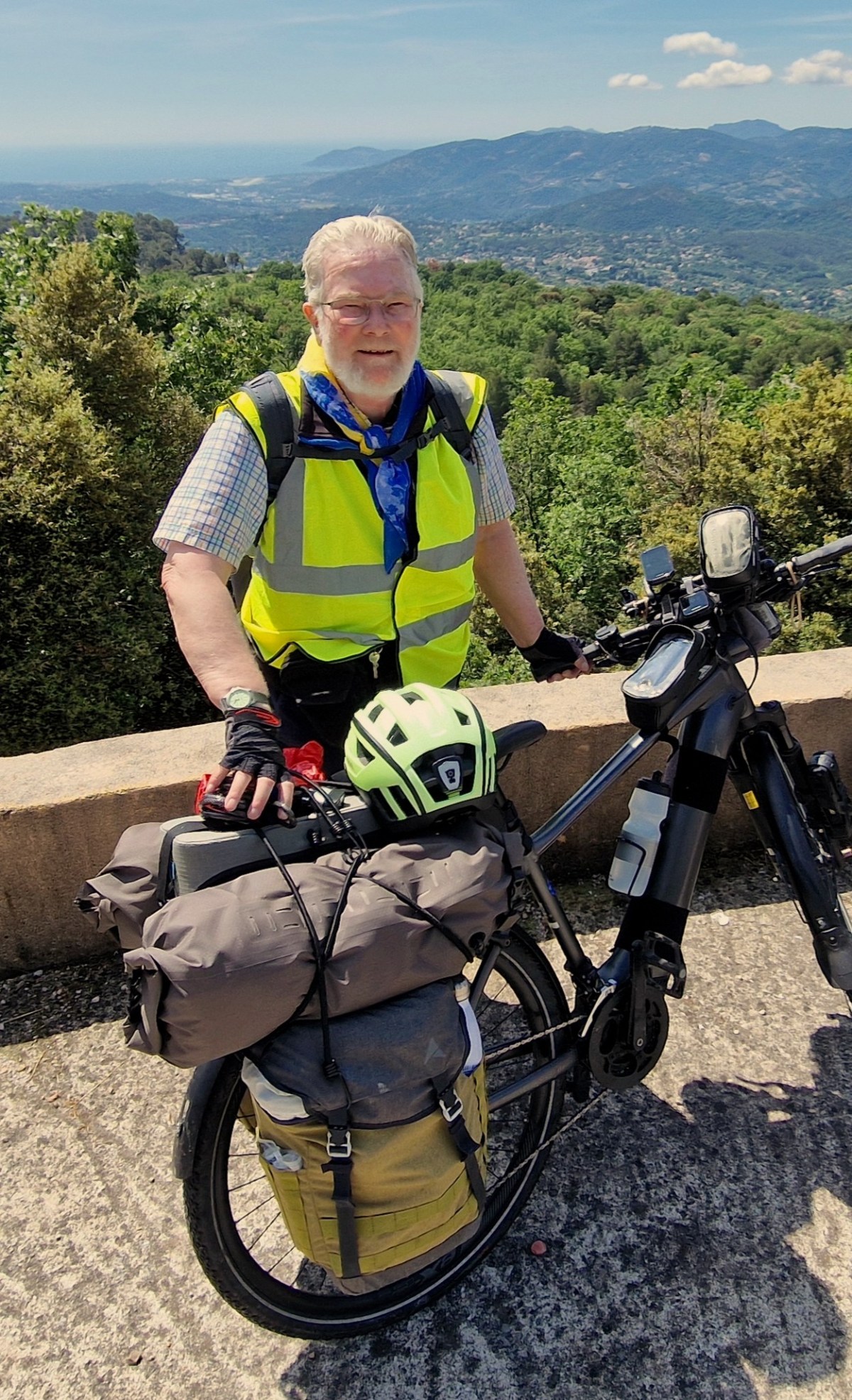
The whole of the trip was, despite the heat, despite the illness, and despite all the problems was not to be missed and best of all I loved meeting the people, and I think 650 miles is a very respectable achievement for a 79-year-old, even with an electric bike.
For more details, see my daily diary, which I hope you will find interesting and amusing and informative.
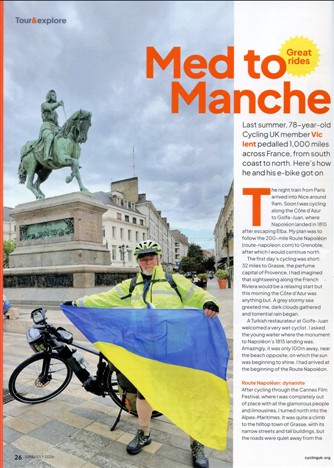
Cycle UK Magazine publish article on my 1,000 mile bike ride through France in 2025!
My daily web diary records my 1,000 miles, from the Mediterranean coast of southern France all the way to Dieppe. I set out to raise funds for Ukrainian causes which I am doing again this year, 2026 in a cycle ride from Spain, through France to England. Please CLICK HERE to DONATE to my 2026 charity fund
However the ride was also about the sheer joy of cycling through beautiful landscapes and testing myself at the age of 78. I’ve promised myself that with every passing year, I’ll ride at least one marathon distance—not to compete with anyone else, but to remind myself that I’m still alive, active, and pushing forward.
The route carried me through the Alpes-Maritimes, along the picturesque valleys of the Isère and the Rhône, across the wild Cévennes and into the rugged Massif Central. From there I followed the River Loire downstream from its source to Orléans and finally turned northwards toward home. a 900 mile cycle ride which turned out to be 1,000 miles! Much of the ride was solo, which gave me time for reflection, but along the way I met fascinating people whose kindness and stories made the journey even more rewarding. It was both a challenge and a delight—an adventure I will treasure. My journey has now become the subject of an article in the June/July issue of Cycle UK magazine. See page 26. Here is a PDF copy:
My ferry from Portsmouth to Bilbao arrives about 8:00 a.m. so I will be able to get a full days cycling in before my first stop. The chart below shows the approximate route through the Basque Country and into France.
This first section has some really steep climbs in it so it may take a day or two extra compared with a normal bike ride. Also I’d like to allow time for sightseeing and seeing places of special interests such as Guernica which was the first time aerial bombardment was used on civilians.
Other stopping off places are
Donostia-San Sebastián and it’s beautiful coast in Spain’s Basque Country, famous for its stunning beaches and elegant architecture, vibrant Old Town (Parte Vieja).
Hondarribia – is a charming, historic Basque coastal town known for its colourful old quarter, medieval walls of the castle of Emperor Charles V, excellent gastronomy (especially pintxos).
Saint-Jean-De-Luz – a charming Basque coastal town known for its sheltered bay, sandy beaches ich fishing port history, traditional Basque architecture.
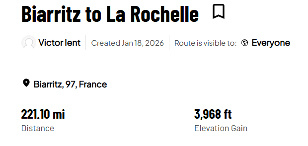
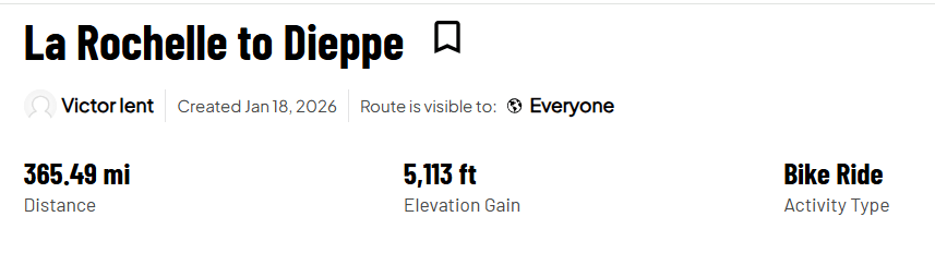
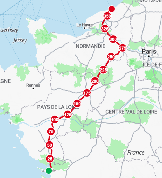
From La Rochelle there is an option of travelling up the lower Valley or heading up to St Malo the decision on this will be taken near the time. if time allows I would prefer the longer route via St Malo
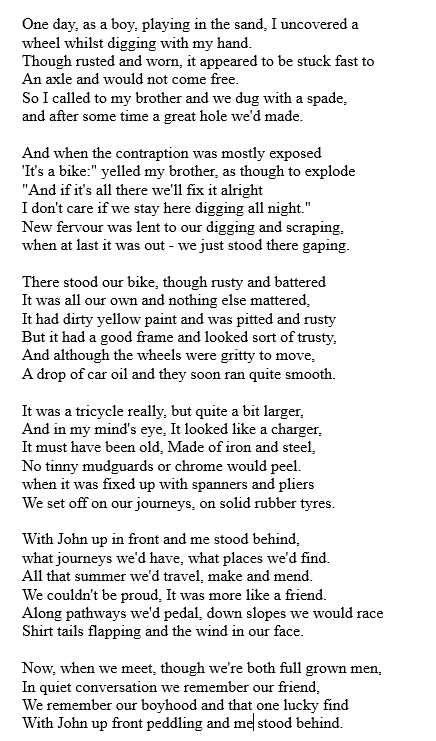
Brother George’s Cycling Poem
This is the first of George Ient’s poems from his little book of poems written many years ago. I hope you enjoy it, I certainly do as it speaks of endeavour, a bright future and of course the freedom of cycling!
This is the first of George Ient’s poems from his little book of poems written many years ago. I hope you enjoy it, I certainly do as it speaks of endeavour, a bright future and of course the freedom of cycling!
The journey down to the south of France with my bicycle by train and via the Newhaven Dieppe ferry was remarkably easy. The total journey time was about 48 hours with two stopovers, – one in Paris and one on the night train south. An enjoyable trip!
Taking your bicycle on the train through France
From Paris to Nice
The night train south through France is one of Europe’s last true travel pleasures. Boarding in the cool evening, in a bustling city still in “work mode”, and then effortlessly the world just gradually tilts. The lights fade. The carriage hums. The long black windows become mirrors. You fall asleep and when morning comes you’re in a different place! Your train is taking you along the Côte d’Azur, the French Riviera dressed in sunlight. A series of bays and headlands overlook the beautiful blue sea. The hills are dotted with old pastel coloured villages and bougainvillea climbs sandy coloured walls. No wonder artists like Matisse, Monet, and Renoir made it their home.
No, I wasn’t travelling in style like Hercule Poirot on board “Le Train Bleu” as described by Agatha Christie, in the book The Mystery of the Blue Train but just 2nd Class and no sleeping compartment. All the same there is a sense of adventure and magic about a night train.
Planning a long train journey with bikes that are ‘fully assembled’ is quite a challenge whether in the UK or in Europe especially with the heavier electric bikes. Generally, you can’t go on TGV as they require you to disassemble the bike and, and have it packed away.
The journey I had planned was to go from the south of France to the north of France by bicycle. Many people said, why don’t you just cycle down and then you’ve got the wonderful Mediterranean when you arrive there. But I didn’t want to have the train journey before me after I’d done the cycling. I knew I would be tired, so I wanted to be near home at the end of my journey by bike.
The other reason I decided to get the train journey out of the way before I started cycling was that I didn’t know how difficult it would be to travel via the French Intercités de Nuit train. They advertise the service as taking fully assembled bikes, but most of these trains are the old style with very narrow doorways into the carriage. If there were difficulties, I wanted to have plenty of time to get my bike on the train by arriving early so I could fiddle around and even possibly twist the handlebars around to get the bike on board.
You might say this is all a lot of faffing around, just to get to the start of a journey and is just too much hassle. But to me, it’s part of the holiday and it’s cheap, especially if you have a Carte Avantage Senior (for over 60’s) offering 30% off. The crossing from Newhaven to Dieppe was cheap too with 20% off for seniors!
The journey from the UK Nice to Mediterranean coast
The journey down to the south of France by train and ferry was remarkably easy. The total journey time was about 48 hours with two stopovers, – one in Paris and one on the night train south. The journey splits into 3 stages:
England to France
I left home about 7 am, crossed by ferry to Dieppe from Newhaven and took the train to Paris arriving about 6:30 pm.
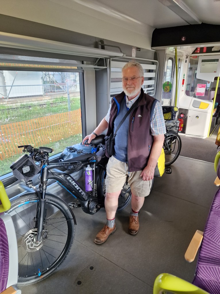
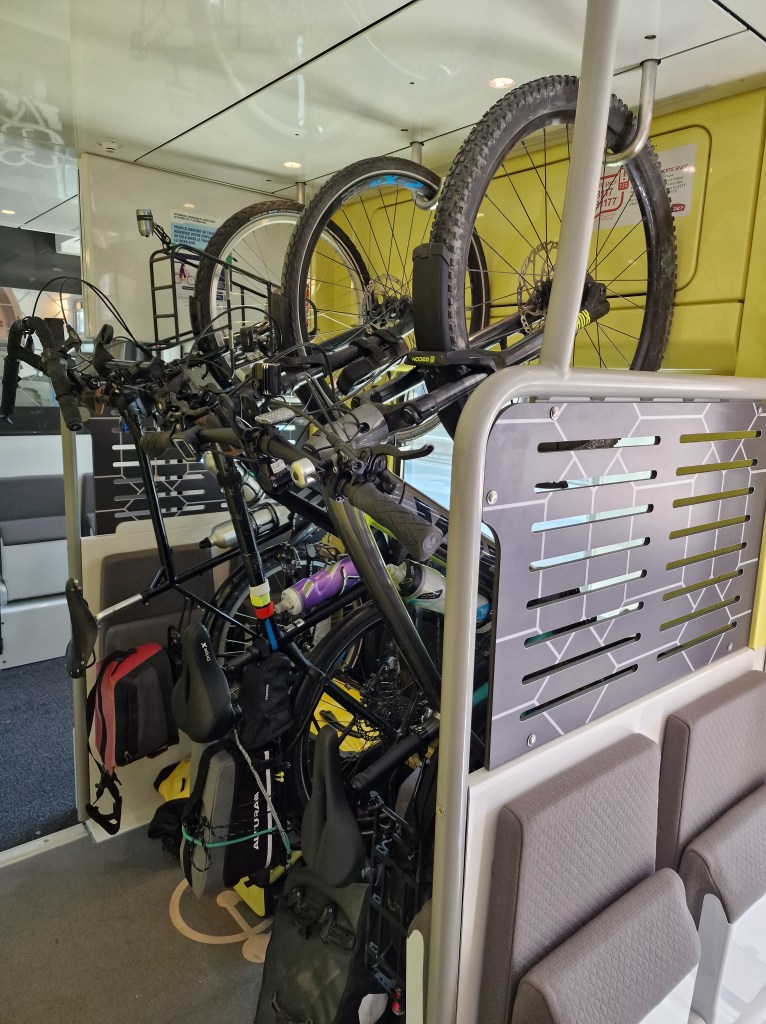
Taking your bike on the train to Paris, changin at Rouen on the TER trains is relatively easy, – no need to book at most times throughout the year. No ‘hook’ your bike up. If you were travelling from Portsmouth to Le Havre you have the advantage of a direct train to Paris.
At Paris
As I arrived in Paris by 6:30 pm I could have taken the chance and crossed to the Gare d’Austerlitz, where the night train leaves for Nice at about 8:30 pm, but If anything had delayed me on route to Paris I would have missed a train south. The safer option was to stay the night in Paris and become a tourist for the day taking the night train the next day. The Ibis hotel near the Gare Lazare kindly stored my bike for the whole day. Hotels in France are generally very helpful with bicycles.
Crossing Paris is a lot easier now as the route alongside the River Seine is car-free. Leave the hotel following the cycle path down to the River Seine and then a very pleasant cycle ride all the way past Notre Dame to the Gare d’Austerlitz, (near the Gare de Lyon).
The night train south to the mediterranean coast via the Intercités de Nuit
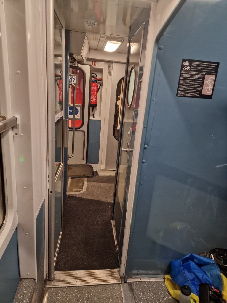
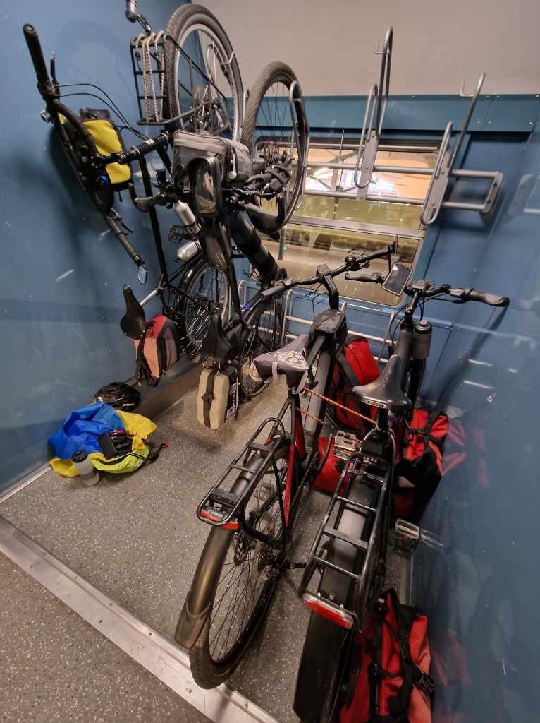
Even though I had a booking, I wanted to arrive early for the night train to make sure I could get my bike on the old-style French train. There were three steps up to the train from the platform, (more difficult with the heavier electric bike). Being an old-style train, there were narrow doorways but with help we ‘wriggled’ the bike through. Unfortunately, to get the bike into the actual bike compartment required passing through another bi-fold door, a very awkward narrow gap, but I managed it with the help of others. The reserved cycle compartment took only four bikes to be hung on hooks. Not easy with the heavier electric bikes but again with the help of others the bike was finally put in position. Actually, I needn’t have worried about putting the bike on the hook because when others joined the train they just parked the bike in the space that was available rather than go to the trouble of hanging on the hook!
The train leaves Paris about 9:30 pm and arrives in Nice the next morning at just after 8 am.
I recommend having a meal before you depart. You can then settle in and get some sleep overnight. I travelled second class and didn’t choose a sleeping compartment. Ear muffs so that you can get some sleep.
We could have got off the train at Cannes to commence our journey north, but the stopping time was only two or three minutes and we had a lot of luggage and it was difficult to get the bikes in and out of the train. So by going to the end of the line at Nice we had plenty of time to get the bikes and our luggage off the train. Yes, it meant cycling along the coast to Cannes to start our journey, but I foresaw that wasn’t going to be a hardship. It was only a short distance and added to the enjoyment of the trip.
Train & ferry journey costs:
From the UK to the South of France the total cost was €72 plus the hotel cost in Paris:
£35 for the ferry crossing (including the 20% seniors discount, only available by phone booking or at the port).
Less than €17 to Paris with my SNCF Carte Avantage Senior travel card. Other cards are available such as the Carte Avantage Jeune for 12 to 27 year olds or with 20% off Interrail in most cases.
€25 from Paris to Nice via the Intercité de Nuit. Prices start from €19 per single journey.
Planning a journey by train with your bicycle
Planning a train journey with bikes that are fully assembled can be a challenge. Hopefully the following will make in easier:
TER Trains
In previous trips I have learned to look out for the regional trains, – ‘TER’ (Transport Express Régional). You can travel quite a long way on TER trains. Normally you don’t need to book a place for your bike but in peak season it may be necessary. Check when you book your advance ticket.
While a few TGV (Train à Grande Vitesse) trains will now carry fully assembled bikes, on most TGV trains your bike has to be packed in a bag no larger than 90 by 130 cm.
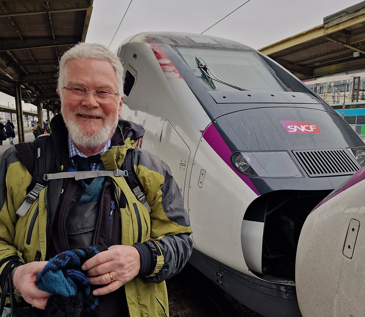
However if you book ahead you might be able to take your fully assembled bike on either the INOUI TGV or OUIGO Train Classique trains. Checkout the SNCF website.
Europe by bike
Finally, check out the website ‘The Man in Seat 61‘ for a guide to taking your bike by train from the UK through mainland Europe
What a summer! Cycling adventures through mountains and along coastlines, a memorable trip to Porto with my sons, Adrian and James, an escaped to La Rochelle, and a spring visit to Annecy in the French Alps to see our daughter and her family. I even caught up with old skiing friends. Other highlights included launching my podcast website, publishing a heartfelt tribute to my father and his fellow POWs on the 80th anniversary of VJ Day, and raising funds for Ukrainian causes. It has been a season of adventure, reflection, and purpose.
What a summer it has been! From cycling adventures across beautiful mountainous landscapes and coastal routes to a memorable trip to Porto with my sons, Adrian and James, the season has been full of highlights. Carol and I enjoyed a lovely getaway to La Rochelle. In the spring we had a wonderful visit to Annecy and the French Alps, where we spent time with our daughter and her family—and I even caught up with old skiing friends. Added to that I launched my podcast website and published a heartfelt tribute to my father and his fellow POWs on the 80th anniversary of VJ Day, and I managed to achieve some meaningful fundraising for Ukrainian causes!
Local Government Reorganisation: Government is involved in an exercise akin to – rearranging the deck chairs on the Titanic when the ship is sinking. We needed reform of local government finance not fiddling around with local government boundaries
Councils in East Sussex hold debts of almost £600 million
The Labour Government is involved in an exercise akin to – rearranging the deck chairs on the Titanic when the ship is sinking. It is an organisational reshuffle without reform – structural changes that don’t tackle underlying issues. We needed reform of local government finance not fiddling around with local government boundaries.
It’s like an episode from the BBC’s Yes Minister, but it doesn’t just waste the time in the Ministry of Administrative Affairs – it is wasting time up and down the country of all of the councils and thousands of councillors.
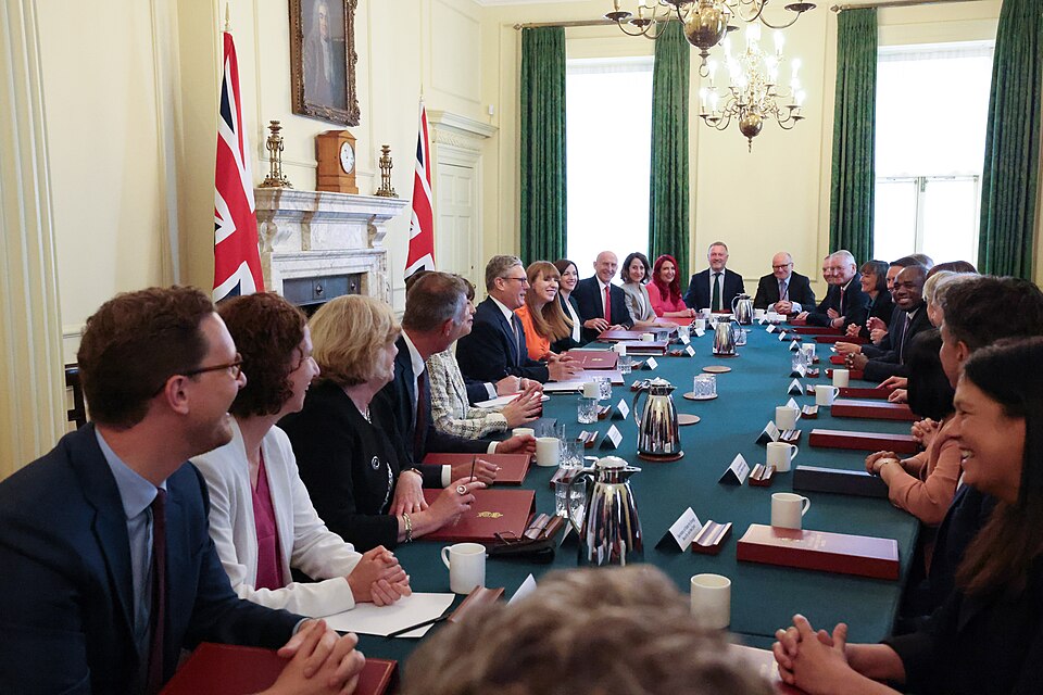
What is needed is the reform of local government finance. For years local councils have had to put the begging bowl out to the Government on numerous ‘single issues’ from potholes to social care to name just two. There is no government strategy for financing local authorities and Angela Rayner’s (Deputy Prime Minister) local government reorganisation, misguidedly called ‘devolution’ isn’t going to improve the situation. It’s the cart before the horse. There needs to be a strategy for local government finance rather than reorganising council areas on a map!
For years the Government has ignored the underlying issue – they have been reactive – moving from financial crisis to financial crisis while services get worse.
I believe it’s not too late to cancel this reorganisation and stop the car crash.